
From immersive 3D virtual tours to LiDAR scanning, drone aerials, and beyond — every package delivered within 24 hours across Southwest Florida.
Our most complete community imaging package — a full LiDAR virtual tour of the property interior plus an immersive 3D walkthrough of community amenities including pools, clubhouses, tennis courts, and common areas. Includes drone aerial imaging and 25 high-resolution photo stills. The ultimate lifestyle tour for luxury Southwest Florida listings.
Book This Package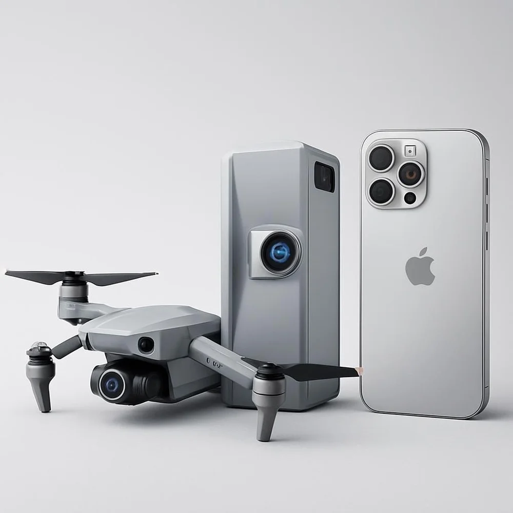
Put your best foot forward with the 3D Immersive virtual walkthroughs provided by the Realsee Galois M2 LiDAR camera, DJI 4K aerial drone footage of the property. Topped off with additional gimbal captured footage and stunning photographs.
Book This Package
Immersive 3D virtual tours for vehicles and vessels — giving buyers a full interior and exterior walk-around experience from any device. Perfect for car dealerships and yacht brokers looking to stand out online. Delivered within 24 hours. Package includes 1 month of hosted link — $10/month per link after that.
Book This Package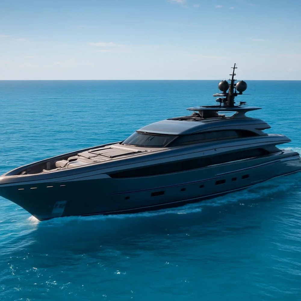
Capture your yacht in its natural environment out on the open water. We capture video at cruising speed and at anchor. Includes 3D photography of the interior. A premium on-water production experience unlike anything else in Southwest Florida.
Book This Package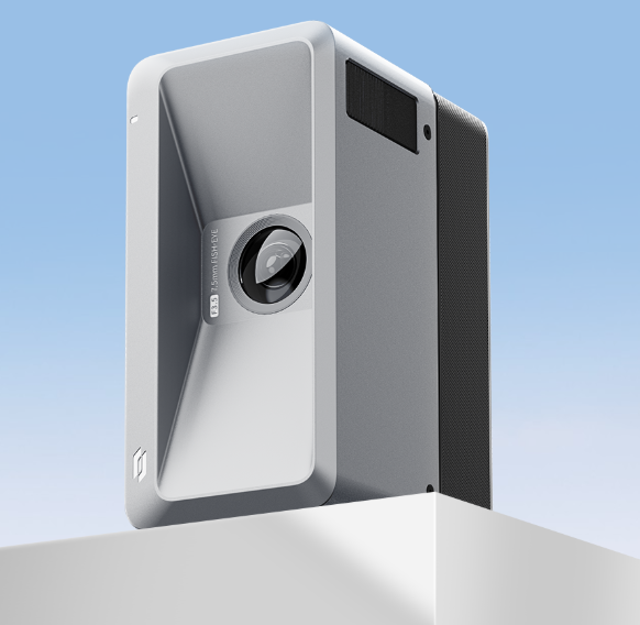
Next-generation LiDAR virtual tours powered by the Realsee Galois camera. Fully navigable, photorealistic 3D walkthroughs accessible from any device — no app required. A superior Matterport alternative delivering stunning results at a fraction of the cost.
Book This Package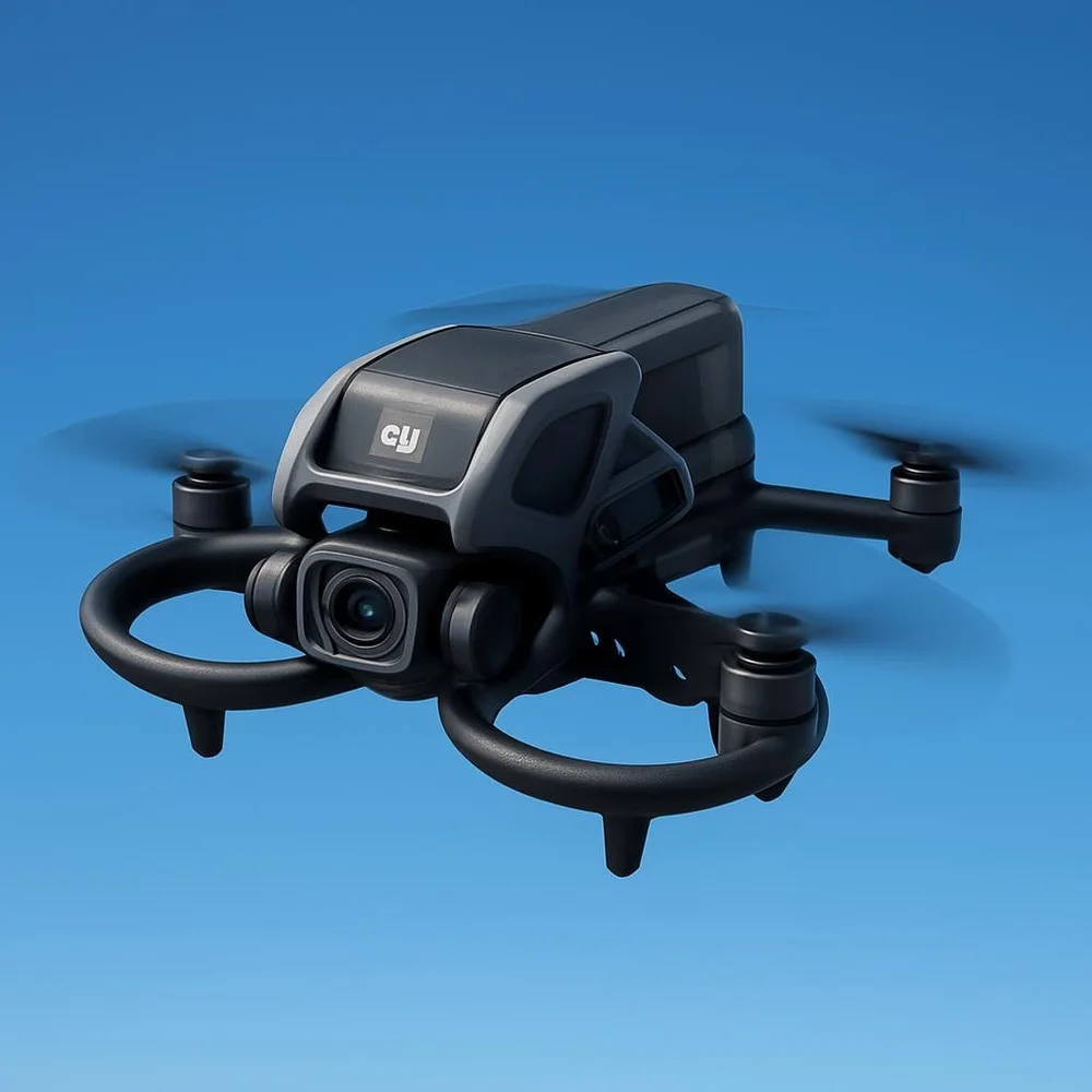
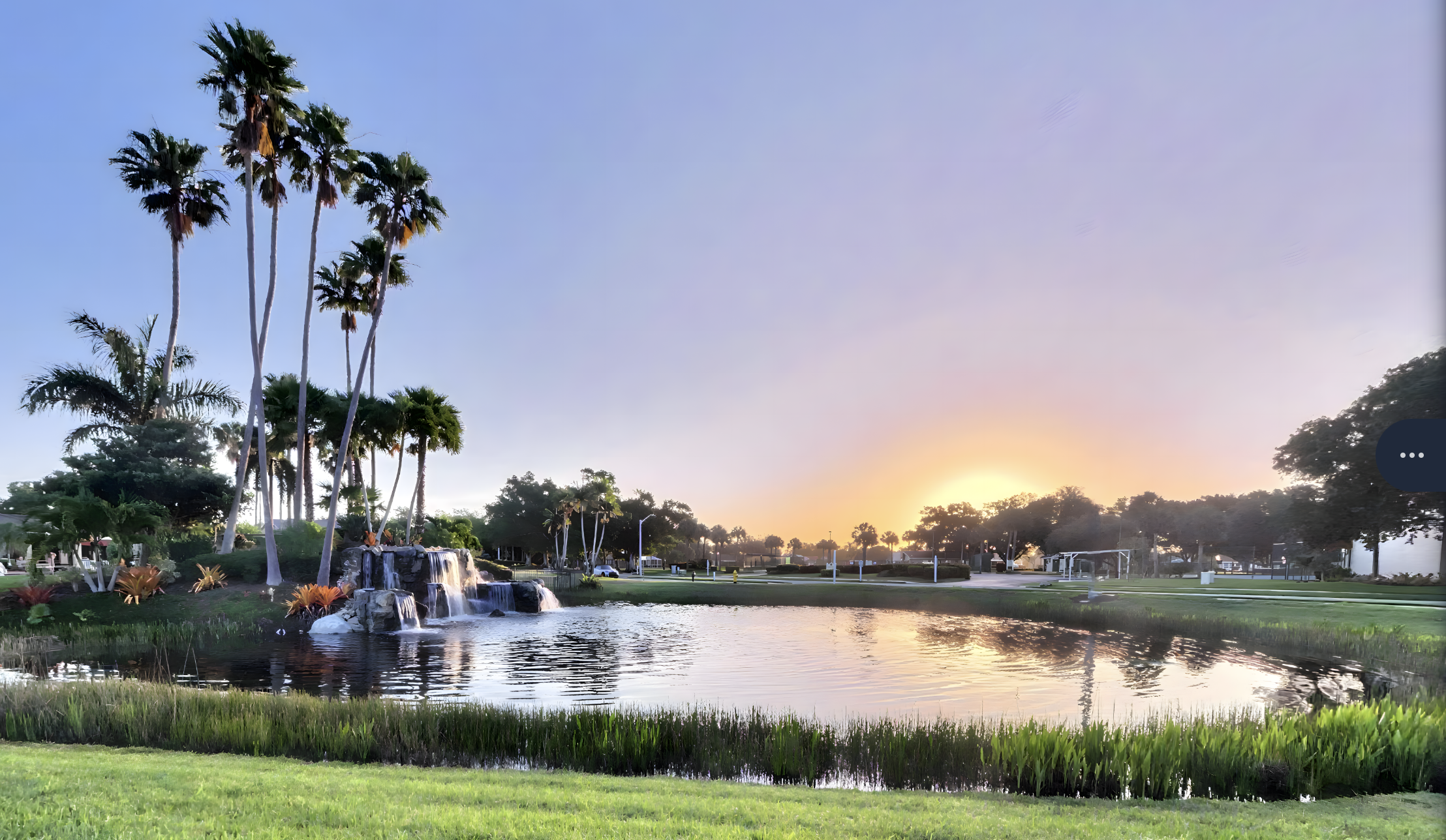
Perfect for capturing community amenities — pools, tennis courts, pickleball courts, clubhouses, and common areas from a stunning aerial perspective. Give buyers a complete picture of the community lifestyle before they ever set foot on the property.
Book This Package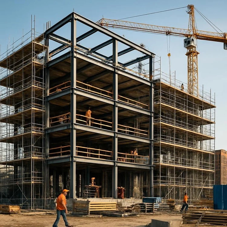
Accurate to 20mm, LiDAR is the perfect way to verify the work matches the plans. Detect variations early — out of plumb walls, slabs not level — before they become costly problems. Up to 3,000 square feet.
Book This Package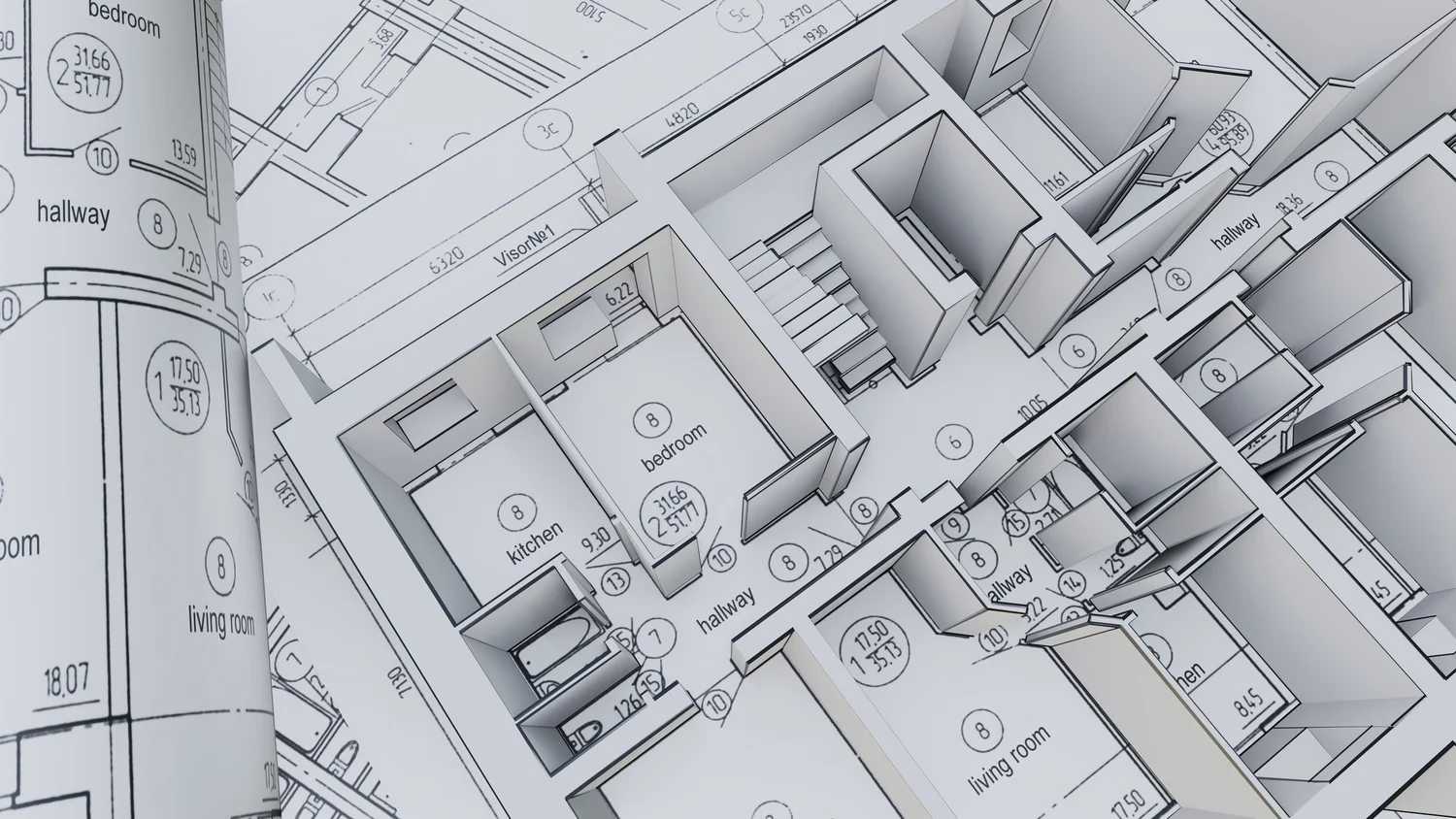
With the extreme accuracy of our 3D capture, we can generate and export a CAD file and photo-realistic 3D floorplan directly to the architect or construction team of your choice, kicking off your redesign process.
Book This Package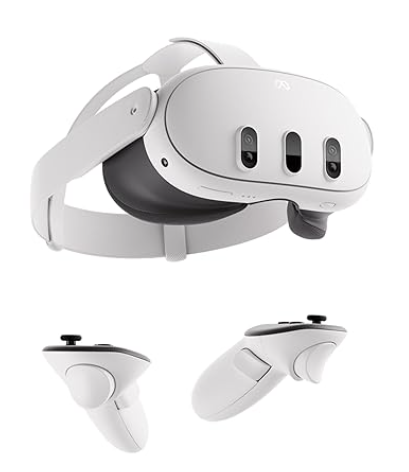
For the out-of-town customer who is short on time — allow them to virtually be in the space from anywhere in the world! We send Meta VR goggles and they can view properties as if they were there. Perfect for out-of-state buyers, investors, and seasonal residents throughout Southwest Florida.
Book This Package
Proactively document your property's condition before storm season — protecting you if an insurance claim is ever needed. For post disaster, we mobilize quickly with LiDAR scanning and drone assessment for hurricane and flood-damaged properties. Timestamped 3D documentation for insurance claims, FEMA filings, and legal proceedings.
Book This PackageEvery engagement starts with one or more of our core imaging services. 360 ProScan Advanced Imaging serves Fort Myers, Estero, Bonita Springs, Naples, and all of Southwest Florida with LiDAR virtual tours that outperform traditional Matterport alternatives. All rates per property, up to 3,000 sq ft.
Our most complete community imaging package — a full LiDAR virtual tour of the property interior plus an immersive 3D walkthrough of community amenities. Includes drone aerial imaging and 25 high-resolution photo stills.
Realsee Galois M2 LiDAR virtual walkthrough combined with DJI 4K aerial drone footage, gimbal video, and stunning property photographs.
Immersive 3D tours for vehicles and vessels. Full interior and exterior walk-around from any device. Includes 1 month hosted link — $10/month after that.
Every Immersive 3D Photography package automatically generates these deliverables as part of the Realsee Galois ecosystem — included with every scan.
An AI-generated 2D schematic automatically produced from your scan data. Downloadable as PNG or JPG — great for quick reference or MLS listings.
An AI-generated MP4 walkthrough video automatically rendered from the 3D tour. Smooth, cinematic flythrough footage ideal for social media and listing presentations.
Six-sided "box" projection images generated from each scan point, used for immersive 360° viewing environments and advanced visualization platforms.
A cubemap specifically generated for the 3D Dollhouse view — the bird's-eye interactive model that lets clients explore the property layout in three dimensions.
Need more from your scan? These specialized outputs are available as add-ons to any package, priced per project. Flat rate regardless of property size.
| Service | Best For | Price |
|---|---|---|
|
16K Panorama Pack
JPG · 134 Megapixels · 16,000 × 8,000px
Full-resolution 360° panoramic images exported from every scan point. |
Luxury listings, print marketing, archival documentation |
$95 |
|
RAW Image Pack
RAW · Unprocessed · Maximum Flexibility
Unprocessed original image files for complete post-processing control. |
Professional photographers, custom editing workflows |
$200 |
|
Point Cloud File
.E57 / .PLY · Compatible with Autodesk, CloudCompare & more
Dense 3D dataset for BIM modeling, structural analysis, and construction documentation. |
Architecture, engineering, construction, BIM |
$150 |
|
3D Model
.OBJ / .FBX · Import into Blender, Revit, Unreal & more
Full textured 3D mesh model importable into industry-standard software. |
Design visualization, digital twins, VR/AR development |
$95 |
|
Manual Floor Plan
PNG / PDF · Human-Verified · High Precision
Professionally drafted, human-edited floor plan from your scan data. |
Real estate, permits, architectural submissions |
Contact for Quote |
|
AI Virtual Renovation
Powered by Realsee · One-Click Style Generation
One-click AI transformation of the scanned space into a virtually renovated environment. |
Pre-sale staging, buyer visualization, investor presentations |
$225 |
Pricing Notes: All base service rates are valid for properties up to 3,000 sq ft. Properties exceeding 3,000 sq ft are priced by tier — see the full pricing matrix below. Drone / Aerial Imaging is included in the Beyond the Front Door package — selecting both separately will result in duplicate billing.
All rates are per property. Tier is determined by total square footage at time of booking. Proudly serving Fort Myers, Estero, Bonita Springs, Naples, Cape Coral, and all of Southwest Florida.
for Quote
for Quote
for Quote
for Quote
At 360 ProScan, we use LiDAR to deliver millimeter-accurate scans of properties, construction sites, and architectural spaces across Southwest Florida — giving our clients data they can trust for real estate, engineering, legal documentation, and more.